Cheryl posting for Chuck today.
Day 1: St. Augustine to Keystone Heights, FL
80 miles
Bob got up early and started getting his gear prepared. Chuck got up soon after and did the same.

Did someone put weights in this bag when I was sleeping?

O-Dark-Thirty - Early Morning Final Preparations
We had breakfast and checked the map again…

Where are we going again?
Then there was more food to get ready…

Nothing like PB&J
Final packing of gear…

We really taking all this?

Got the microwave?

Tightening the straps

Looks good!

Attaching Bob's B.O.B.
And they’re off from the campsite…

Leaving the campsite
Dipping their wheels into the Atlantic…

Atlantic
Final pictures with Cheryl & Shadow…

Chuck and Shadow

Me, Cheryl, and Shadow
Of course, the start this morning couldn’t be without a harried moment or two. As Chuck and Bob rode up to the campground gates, Chuck came to halt and frantically told me he forgot his SPOT GPS tracker. As he unpacked his B.O.B. bag to see if he had packed it away, I drove back to the campsite to see if I could find it there.

Where is SPOT?
Fortunately I found it at the RV and brought it back. Chuck was VERY relieved. Luckily he noticed it was missing before we got too far from the campground.
Once everything was re-packed and everyone was sure they had what they needed for the next two months on the road, I took a ‘starting line’ picture of Bob and Chuck, hugged and kissed Chuck goodbye, and the guys were off and riding their bikes through St. Augustine.

Saying goodbye and so happy to finally get going!
I followed in the car and took some more pictures and videos until they crossed Lion Bridge.

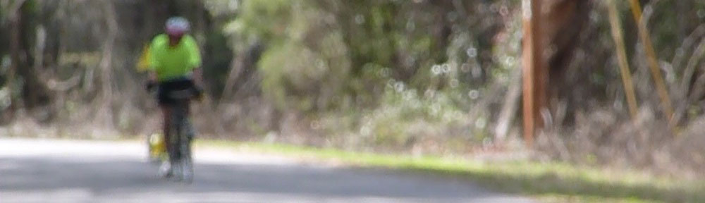
First intersection of many to come.
As they waited for the light to change at the intersection, they were already getting questions from interested strangers. “Where are you headed? How long will it take you?” I’m sure it won’t be the last time they hear that!

So excited
Chuck called this evening to say everyone arrived safely at their first stop. Chuck sounded good and said he felt tired, but not bad. His first call (at around 7pm) he cut short, saying that they had just gotten to the campground and were feeling sprinkles, so they wanted to get their tents up in case it rained. He called back about an hour-and-a-half later to give more details.
The guys are camping overnight at Mike Roess Gold Head Branch State Park, where they had made reservations by phone yesterday. They didn’t realize that the park would be an extra ten miles from the destination for the first day of cycling on the Adventure Cycling map, which was Keystone Heights. Turns out the entire day’s mileage was higher than they anticipated and they cycled about 80 miles when they thought they’d be doing about 60.
I asked Chuck where the miscalculation came from. Was it bad mapping; taking a wrong turn; detours? He said they really weren’t sure but they didn’t get lost and that the map, GPS, and actual mileage was all different. Bottom line was, it was a very long day of cycling, and the longest Chuck has done in a very long while. In training, Bob and Chuck’s longest ride was around 60 miles, so they increased they’re mileage by about 35% in one day. Not ideal, but they all seem to be handling it well.
I took a lot of videos today and they are now uploaded on YouTube. Here is one of Bob & Chuck dipping their wheels in the Atlantic to start the ride:
You can see the rest of the videos anytime by clicking the link above or the VIDEOS link in the menu at the top of the blog. I’ll add more videos as I get them.